TerraFed tackles the biggest obstacle for providing accurate soil analytics to growers and land managers: data privacy. The app’s design is developed to be easy-to-use, handling processing and machine-learning infrastructure in an automated environment, delivering field maps with SOC estimates without exposing raw satellite data or proprietary algorithms. This approach allows users to gain critical insights into soil health while ensuring that sensitive data remains secure and private.
Technical approach
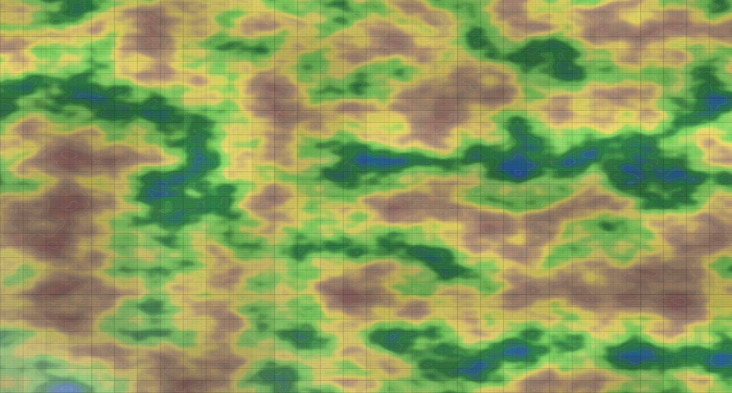
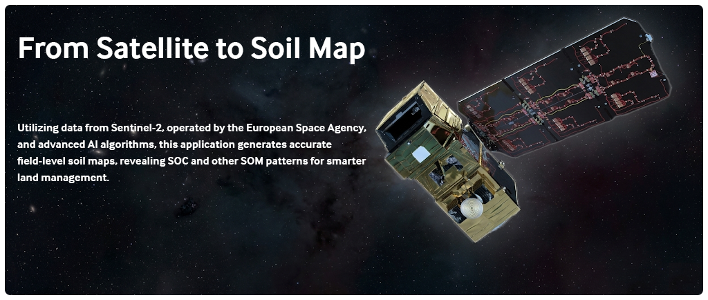
TerraFed is built on a federated learning backbone that allows for collaborative machine learning without the need for centralized data aggregation. The system utilizes a map-based interface that automates satellite data retrieval and model inference , enabling users to generate field-level insights—specifically for Soil Organic Carbon (SOC) and clay—locally on their own devices. By sharing only model parameters rather than raw datasets, the platform continuously improves a shared global model while allowing participants to fine-tune local models tailored to their specific environmental conditions. This decentralized framework ensures that sensitive farm information remains under the grower’s control.
Expected outcomes
Automated generation of field-level SOC and clay maps without exposing raw operational data.
A collaborative modeling environment that has demonstrated a reduction in RMSE by 42% for clay and 31% for SOC compared to centralized baselines.
Actionable guidance that reduces monitoring costs by focusing soil sampling efforts on high-priority zones.
A validated startup strategy supported by UF Innovate and pilot deployments through the UF/IFAS Extension network.
Impact
By embedding privacy governance into the core of agricultural analytics, TerraFed addresses the primary barriers of trust and data ownership that currently limit participation in digital agriculture. The platform provides a scalable solution for carbon Measurement, Reporting, and Verification (MRV), enabling farmers to meet emerging digital soil mapping protocols like Verra’s VT0014. Ultimately, this lowers the economic threshold for entering carbon-credit markets by reducing verification costs and providing a direct pathway for farmers to generate additional income through sustainable land management.