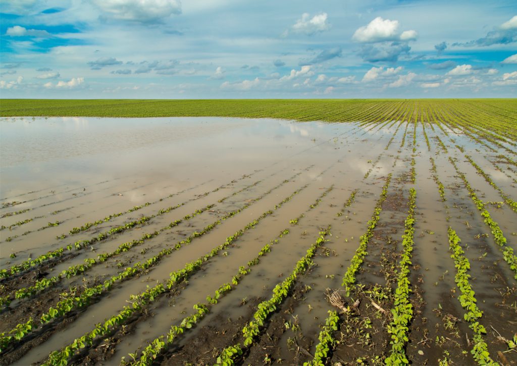
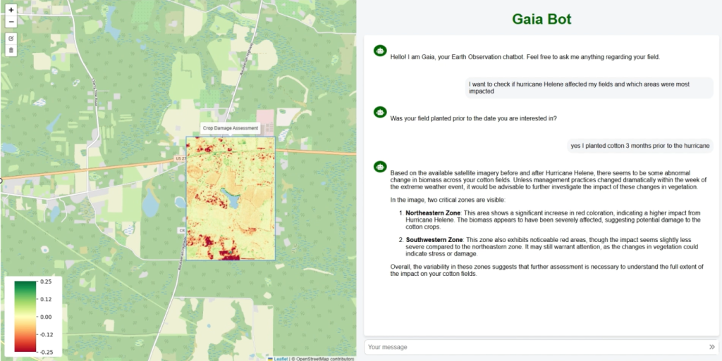
This project is developing a chat-based “Geospatial GPT” that helps farmers, extension agents, and other non-experts quickly access and interpret Earth Observation (EO) information after extreme events (e.g., hurricanes and flooding). Instead of navigating complex GIS platforms, users will be able to ask natural-language questions (e.g., “Where is flooding affecting my fields?” or “How is crop recovery trending compared to past seasons?”) and receive maps, statistics, and clear explanations tailored to decision-making.
Technical approach
The platform integrates (1) a cloud-based EO data cube / processing cyberinfrastructure to automate ingestion and analysis of satellite time series, (2) LLM-driven geospatial query translation (with retrieval-augmented workflows) that converts user questions into reproducible analytics, and (3) AI super-resolution to enhance spaceborne imagery toward field-scale (target ~1 m) decision support where feasible. The system will support robust validation and iterative improvement using user feedback and targeted ground-truth/field observations, ensuring outputs are reliable and usable for real-world response and recovery planning.
Expected outcomes
Impact
By lowering technical barriers and accelerating geospatial analytics, this project enables faster, more targeted disaster response and more resilient agricultural management at scale.
Outreach materials