PastureAI: A Conversational Platform for Data-Driven Grazing Management
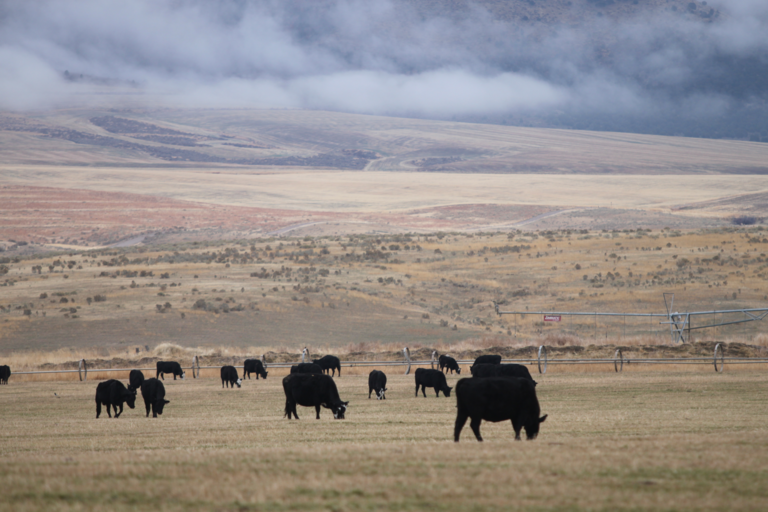
Just as we check the weather before heading outside, producers need to assess their grasslands and soils before making grazing decisions. Despite the abundance of satellite data, simple digital tools to interpret land conditions at the pasture level are lacking. To address this gap, PastureAI, an AI-powered chat-map platform based on large language models, allows ranchers, land managers, and extension professionals to easily access and interpret grazing land condition data using natural-language queries. Users will be able to ask questions such as “Which pastures are showing signs of overuse?” or “Where did vegetation fail to recover after the last dry season?” and receive clear maps, trends, and summaries without needing GIS or technical expertise. The platform will be tested and refined in two Florida regions, Ona and South Florida, to ensure relevance across diverse grazing systems.
Technical approach
PastureAI combines satellite-based Earth Observation (EO) analytics with conversational artificial intelligence to deliver pasture-scale decision support through an intuitive chat-map interface.
Key components
- Conversational Geospatial AI: A large-language-model–powered system that translates natural-language questions into automated geospatial analyses, returning annotated maps, graphs, and summaries. Extension-approved guidance is provided through integration with the UF/IFAS EDIS library, with human-in-the-loop feedback ensuring accuracy and reliability.
- Integrated Soil and Vegetation Monitoring: The platform incorporates validated satellite-derived soil properties (e.g., soil organic carbon, texture) and vegetation indices (NDVI, NDRE) from Landsat-8 and Sentinel-2 time series. Seasonal and long-term trends are analyzed alongside weather data (ERA5) to detect overgrazing, delayed recovery, and climate-driven impacts.
- Stakeholder-Centered Evaluation: The system will be tested and refined through demonstrations with producers and extension agents at the UF/IFAS Range Cattle Research and Education Center, followed by targeted extension training to support adoption and scalability.
Expected outcomes
-
A fully functional conversational chat-map platform for pasture and rangeland monitoring.
-
Easy access to validated soil and vegetation insights without technical training.
-
Rapid identification of pasture degradation, recovery trends, and management risks.
-
Improved grazing rotation planning, soil fertility prioritization, and irrigation decision-making.
-
A scalable digital foundation for integrating future AI-driven rangeland products across Florida.
Impact
PastureAI bridges the “data-to-decision” gap in grazing management by making advanced geospatial analytics easily accessible, empowering producers with real-time, site-specific insights.